


Kasseler Htte-Greizer Htte on GPSies.com

fpolini
User

Length
9 km

Max alt
2735 m

Uphill gradient
773 m
Km-Effort
19.4 km

Min alt
2082 m

Downhill gradient
810 m
Boucle
No
Creation date :
2019-06-08 19:25:17.237
Updated on :
2019-06-08 19:29:35.312
3h47
Difficulty : Difficult

FREE GPS app for hiking
 SityTrail
IGN / Geographical institutes
SityTrail Plus
The world is yours!
About
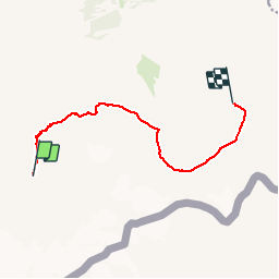
Trail Walking of 9 km to be discovered at Tyrol, Bezirk Schwaz, Marktgemeinde Mayrhofen. This trail is proposed by fpolini.
Positioning
Country:
Austria
Region :
Tyrol
Department/Province :
Bezirk Schwaz
Municipality :
Marktgemeinde Mayrhofen
Location:
Unknown
Start:(Dec)
Start:(UTM)
719205 ; 5214040 (32T) N.
Comments